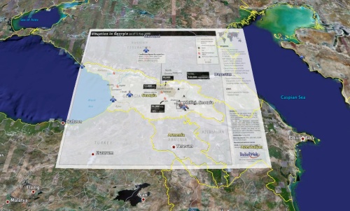
While the data on the OCHA map available over at ReliefWeb is fairly limited it does begin to give you a sense of population flow and current refugee and IDP locations. For teams on the ground these maps are usually a compilation of what they already know but it is always useful to have all the information collected in one location. You can either download the map as a PDF file or as a GIF file and then overlay it in Google Earth if you are already building a map of the conflict. Here’s a screenshot of a quick overlay I did in just few minutes time:


